
High-quality transport planning doesn’t have to come with a high price tag. Across East Africa, practitioners are increasingly turning to open-source tools that offer powerful functionality without licensing costs. OpenStreetMap, for example, provides a community-driven base map often more current than official datasets in fast-changing informal settlements.
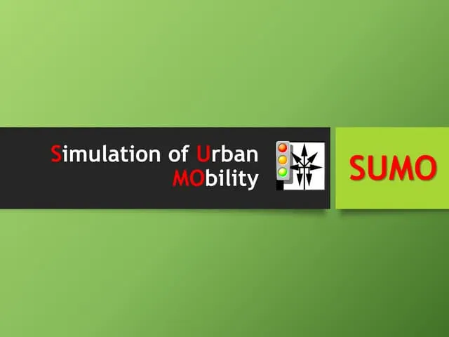
QGIS enables spatial analysis of accident hotspots, transit coverage gaps, or walking catchments around schools. SUMO (Simulation of Urban MObility) allows free traffic microsimulation, helping test signal timing or lane configurations before implementation. These tools have been used in participatory mapping workshops, rapid corridor assessments, and university research alike.
While commercial software still has its place, open-source alternatives offer transparency, flexibility, and the ability to share workflows across agencies and communities. In a field where context matters more than perfect data, adaptable tools often deliver more value than rigid, expensive systems.