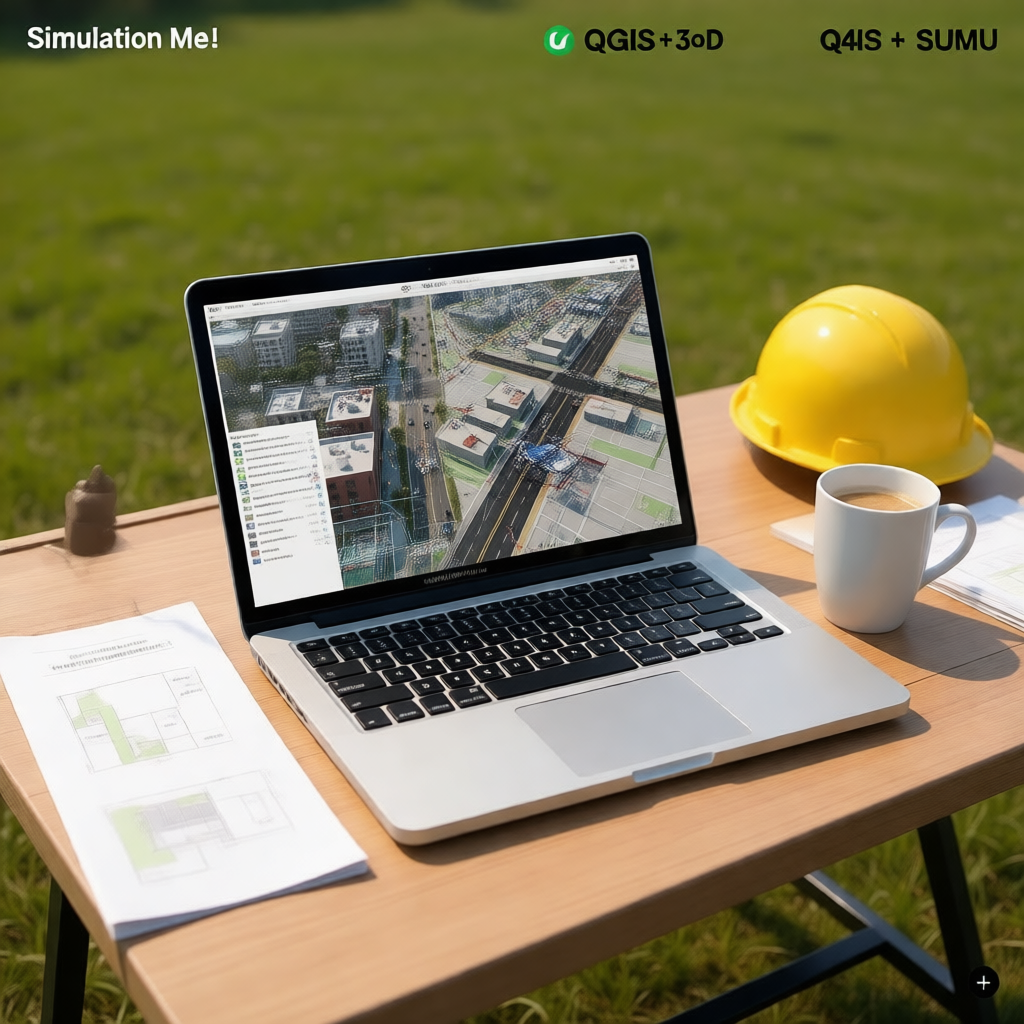
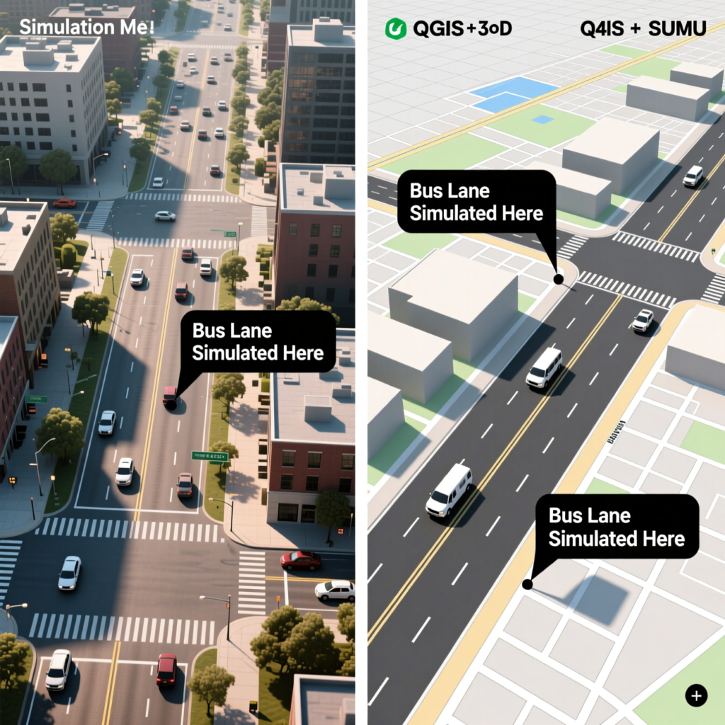
Digital tools are transforming how transport infrastructure is planned, tested, and built—especially in rapidly urbanizing regions where change outpaces traditional survey methods. Drones now capture high-resolution aerial imagery in hours, generating 3D models that reveal drainage issues, encroachments, or slope gradients missed in paper plans. This data feeds into simulation platforms that act as “digital twins,” allowing planners to test scenarios virtually: What if a bus lane is added? How would a new footbridge affect pedestrian flow?
These technologies are particularly valuable in contexts where resources are limited but accuracy is critical. A county government, for instance, used drone mapping and open-source simulation software to evaluate multiple bus stop locations—ultimately choosing one that minimized dangerous U-turns and improved boarding safety. The beauty of modern planning tech lies not in its complexity, but in its ability to de-risk decisions, engage stakeholders with visual evidence, and accelerate implementation.
When paired with local knowledge and practical constraints, digital innovation doesn’t replace human judgment—it enhances it.